

Clicking On Images will make them Larger
Sunday, February 3, 2013
Franklin NC PD puts trail on hold
Just a delay, an indefinite delay. Just a snag.... a snag that should have been resolved by the Franklin NC police department. In a world where a child got suspended from kindergarten for 12 days for making threatening speaches about shooting another student with a bubble gun (which she didn't even have at the time). The Franklin PD let Brady (Mantis) Tinker an ex-con pothead "former" Meth dealer go after threatening David (with his own Machette held to his neck) and demanding he give over his remaining food and down jacket. David reported this to Franklin PD, and after interviewing Mantis and Earlybird it was admitted the event did happen; but, it was just a joke. Really? I should ask the Franklin Sheriff would he have let Mantis go had it been someone in his family? Besides, joke or not the perception of assualt is hinged on the mindset of the victum, not the bystander. What if David had been carrying a "45" and shot Tinker? Not, that it would have been a loss, in court it would have been considered Self-defense.
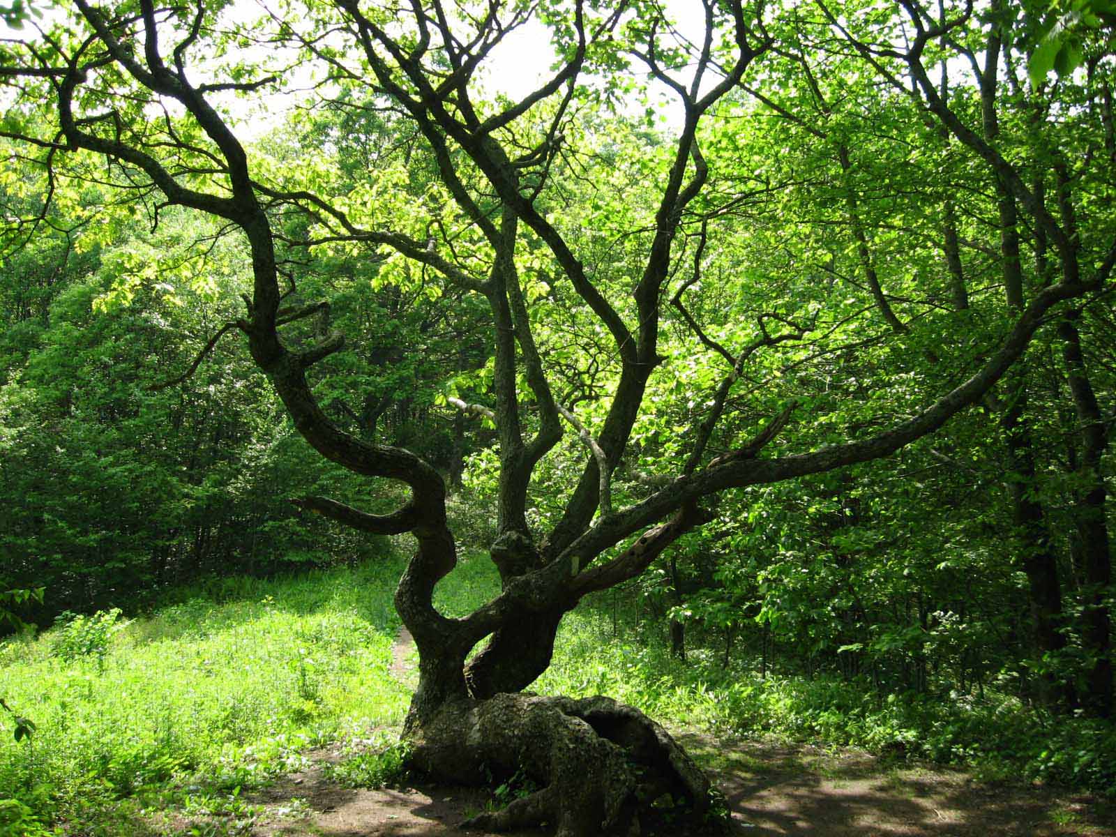
If you see this man on the trail watch out!
Thursday, January 31, 2013
Arrival Franklin NC

Today David reached US 64 (the old Murphy Road) and set out off trail 11.5 miles to the Township of Franklin NC. To resupply, pick-up those gloves (he didn't need), the thermal underwear (he didn't need), and the heavy socks (he didn't need), plus all the food we sent him and a new flashlight. David is no stranger to Franklin as many times as we have vacationed there over the years. Franklin is nestled in the Nanatala National Forest and is the largest township west of Asheville. Any direction you leave Franklin is going up, since it is literally in a depression in the surrounding mountains. Franklin is the home of the Highlands Museum (as it it is not far from Grandfather Mountain where the Highland games are played), Cowee Valley was the home of Tiffany's Ruby Mines (where you can still sift thru the gravel from an ancient riverbed and look for Rubies, Sapphires, and Topaz), a number of rock shops there and as Michelle can tell you Franklin is the Quilt Capital of America (IAW local quilt merchants and the Governor of NC). A long hot soak in a bathtub and a night in a warm bed is on tonight's agenda.

Monday, January 28, 2013
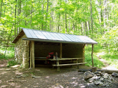
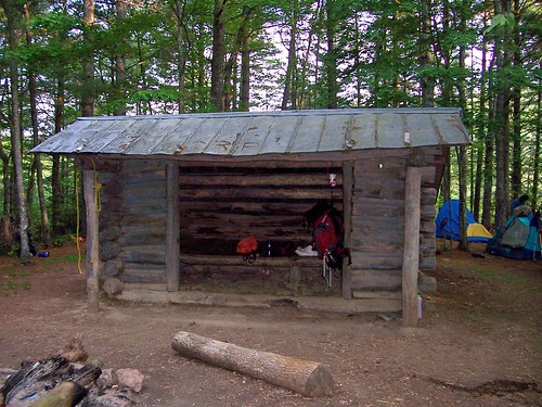
North Carolina Tennessee Mile Posts

 76.5
Bly Gap 3840’ C,W
76.5
Bly Gap 3840’ C,W 76.8 Sharp Top 4340’ None
78.4 Sassafras Gap 4300’ None
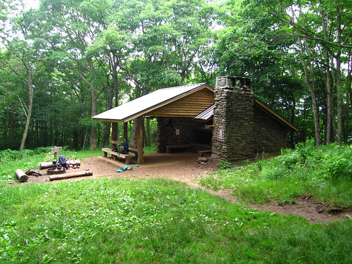
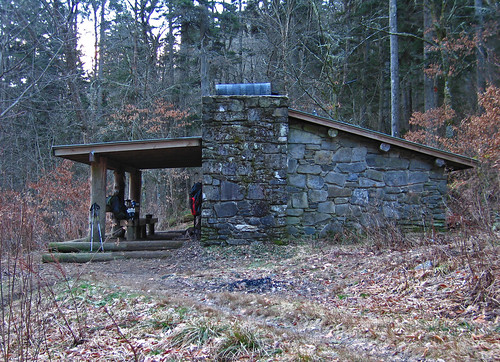
79.3 Muskrat Creek Shelter (pic) 4600’ S,W
80.1 Whiteoak Stamp 4620’ None
80.3 Chunky Gal Trail 4700’ None
81.2 Wateroak Gap 4490’ None
83.3 Deep Gap, USFS 71, Kimsey Creek Trail 4341’ W
84.2 Standing Indian Shelter (pic) 4760’ S,W
85.7 Standing Indian Mt. 5498’ W 88.6 Beech Gap 4460’ C,W
91.4 Timber Ridge Trail 4700’ None
91.8 Carter Gap Shelter (pic) 4540’ S,W
95.5 Betty Creek Gap 4300’ C,W
96.4 Mooney Gap, USFS 83 4400’ None
96.6 spring 4500’ W 97.7 Bearpen Trail, USFS 67 4790’ None
98.0 Albert Mt. 5250’ None
98.6 Big Spring Shelter (pic) 4940’ S,W
101.4 Glassmine Gap 4160’ None
103.9 Rock Gap Shelter (pic) 3760’ S,W
104.0 Rock Gap, Standing Indian Campground 3750’ C,Sh,G
104.6 Wallace Gap, Old US 64 3738’ None
107.7 Winding Stair Gap, US 64 3770’ W
108.6 campsite 3970’ C,W
108.8 Swinging Lick Gap 4100’ None
109.7 Panther Gap 4480’ None
111.4 Siler Bald Shelter (pic) 4600’ S,W
113.6 Wayah Gap, SR 1310 4180’ None
115.4 USFS 69 4900’ W
115.9 Wine Spring Bald side trail 5290’ C,W
117.8 Wayah Bald 5342’ None
118.2 campsite 5200’ C,W
118.7 Wayah Shelter (pic) 4759’ S,W 120.0 Licklog Gap 4440’ W
122.3 Burningtown Gap, SR 1397 4236’ None
123.5 Cold Spring Shelter (pic) 4920’ S,C,W
124.2 Copper Ridge Bald Lookout 5080’ None
125.4 Rocky Bald Lookout side trail 5030’ None
125.7 spring 4900’ W
127.1 Tellico Gap, SR 1365 3850’ None
128.5 Wesser Bald Tower 4627’ None
129.2 spring 4100’ W
129.3 Wesser Bald Shelter (pic) 4115’ S,C,W
130.9 Jump-up Lookout 4000’ None
134.2 A. Rufus Morgan Shelter (pic) 2300’ S,W
135.0 Nantahala Outdoor Center 1723’ L,R,G,O,Sh,Cl,C*
136.6 Wright Gap 2390’ None
138.1 Grassy Gap 3050’ None
141.0 Swim Bald 4710’ None
141.9 Sassafras Gap Shelter (pic) 4330’ S,W
143.1 Cheoah Bald 5062’ None
145.5 Locust Grove Gap 3690’ C,W
146.5 Simp Gap 3700’ None
148.6 Stecoah Gap, NC 143 3165’ W
149.6 Sweetwater Gap 3270’ None
151.0 Brown Fork Gap Shelter (pic) 3800’ S,W
151.2 Brown Fork Gap 3600’ None
153.0 Hogback Gap 3540’ None
153.8 Cody Gap 3600’ C,W
156.2 Yellow Creek Gap, SR 1242 2980’ None
157.1 Cable Gap Shelter (pic) 2880’ S,W
158.5 Black Gum Gap 3490’ None
159.9 Walker Gap 3450’ None
160.1 campsite 3200’ C,W
162.6 NC 28, Fontana Dam 1810’ L*,R*,G*,O*,Cl*
163.7 Fontana Dam Shelter (pic) 1775’ S,W
164.0 Fontana Dam Visitors Center 1700’ W,Sh
164.4 Fontana Dam, GSMNP west boundary 1740’ None
168.4 Shuckstack 3800’ None
169.6 Birch Spring Gap 3680’ C,W
171.9 Doe Knob 4520’ None
173.3 Ekaneetlee Gap 3842’ W
175.0 Mollies Ridge Shelter (pic) 4570’ S,W
175.1 Devils Tater Patch 4775’ None
176.7 Little Abrams Gap 4120’ None
177.5 Russell Field Shelter (pic) 4360’ S,W
180.4 Spence Field Shelter (pic) 4915’ S,W
181.6 Rocky Top 5440’ None
182.2 Thunderhead Mt. 5527’ None
182.5 Beechnut Gap 4920’ W
183.2 Mineral Gap 5030’ None
185.6 Sugar Tree Gap 4435’ None
186.7 Derrick Knob Shelter (pic) 4880’ S,W
186.9 Sams Gap 4995’ W
189.5 Buckeye Gap 4817’ W
192.2 Silers Bald Shelter (pic) 5460’ S,W
192.4 Silers Bald 5607’ None
193.9 Double Spring Gap Shelter (pic) 5505’ S,W
196.4 Clingmans Dome 6643’ W
198.0 Mt. Love 6446’ None
200.2 Mt. Collins & Shelter (pic) 5870’ S,W
203.0 Indian Gap 5286’ None
204.7 Newfound Gap, US 441 5045’ W
207.4 Boulevard Trail 5695’ None
207.7 Icewater Spring Shelter (pic) 5920’ S,W
208.5 Charlies Bunion 5905’ None
210.5 Porters Gap, The Sawteeth 5577’ None
213.8 Bradley’s View 5200’ None
215.1 Peck’s Corner Shelter (pic) 5280’ S,W
217.8 Mt. Sequoyah 6069’ None
219.3 Mt. Chapman 6417’ None
220.3 Tri-Corner Knob Shelter (pic) 5920’ S,W
221.5 Guyot Spur 6360’ None
222.1 Guyot Spring 6150’ W
222.2 Mt. Guyot side trail 6395’ None
224.1 Snake Den Ridge Trail 5600’ None
227.5 Cosby Knob 5150’ None
228.0 Cosby Knob Shelter (pic) 4700’ S,W
230.8 Mt. Cammerer side trail 5000’ None
231.3 spring 4300’ W
232.9 spring 3700’ W
235.1 Davenport Gap Shelter (pic) 2600’ S,W
236.0 Davenport Gap, GSMNP east boundary 1975’ None
237.3 State Line Branch 1600’ C,W
237.5 Pigeon River 1400’ None
237.9 I-40 1500’ None
238.4 Green Corner Rd. 1800’ L,G,Cl,Sh
240.7 Painter Branch 3100’ C,W
241.6 Spanish Oak Gap 3730’ None
243.1 Snowbird Mt. 4263’ None
243.6 campsite 4100’ C,W
245.6 Groundhog Creek Shelter (pic) 2850’ S,W
248.5 Brown Gap 3500’ C,W
251.2 Max Patch Rd, NC 1182 4380’ None
252.0 Max Patch Mt. 4629’ None
253.8 Roaring Fork Shelter (pic) 3950’ S,W
257.4 Lemon Gap, NC 1182/TN 107 3550’ None
258.7 Walnut Mt. Shelter (pic) 4260’ S,W
261.1 Bluff Mt. 4686’ None
262.7 Big Rock Spring 3730’ W
265.2 Garenflo Gap 2500’ None
268.6 Deer Park Mt. Shelter (pic) 2330’ S,W
271.8 Hot Springs, US 25/70 1326’ L,C,R,G,O,Cl,Sh
Georgia North Carolina Border

January 28th at or about 11AM David crossed over the Georgia North Carolina Border into the Nantahala National Forest. That puts him atop Standing Indian Mountain.


1 State Down 13 to go....
75 Miles Down 2125 to go....
Wednesday, January 23, 2013
Weather Forecast Appalachian Trail
Rest Of Tonight...Mostly cloudy with a 20 percent
chance of light rain and light freezing rain. Windy. Lows in the upper 20s.
Northwest winds 10 to 20 mph.
Thursday...Mostly sunny. Windy. Highs in the lower 40s. North winds 10 to 20 mph.
Thursday Night...Mostly cloudy. A 30 percent chance of freezing rain after midnight. Lows in the mid 20s. Southeast winds 5 to 15 mph.
Friday...Freezing rain in the morning...Then rain likely and freezing rain in the afternoon. Highs in the mid 30s. South winds 10 to 15 mph. Chance of precipitation 80 percent.
Friday Night...Partly cloudy. Lows in the upper 20s. Northwest winds 5 to 15 mph.
Saturday...Mostly sunny. Highs in the mid 40s.
Saturday Night...Mostly cloudy. Lows in the mid 20s.
Sunday...Partly sunny. Highs in the mid 40s.
Sunday Night...Mostly cloudy. Lows in the lower 30s.
Monday...Mostly cloudy with a 20 percent chance of rain. Highs in the mid 50s.
Monday Night...Mostly cloudy with a 20 percent chance of rain. Lows in the upper 30s.
Tuesday...Mostly cloudy with a 30 percent chance of rain. Highs around 60.
Tuesday Night...Cloudy with a 40 percent chance of rain. Lows in the lower 40s.
Day 10 Target - Tray Mountain Shelter


Subscribe to:
Posts (Atom)